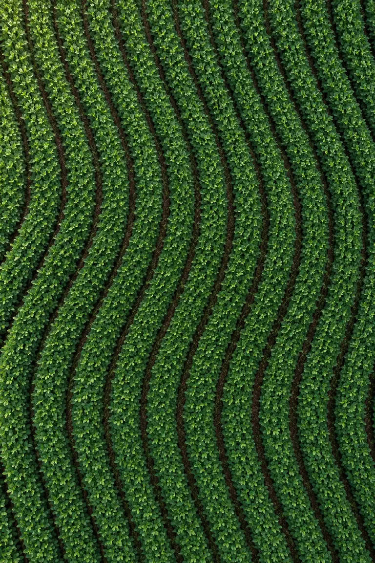
Organize by field.
Keep clients, farms, boundaries and projects together. Find the field and version you need without searching through folders.
CLIENT → FARM → FIELD
Create seed and fertilizer prescription maps, plan guidance lines and tramline shutoff. Save your projects and export for your display.
Real interface · guided walkthrough · no sign-up.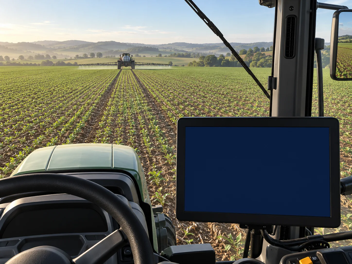
Illustrative guidance simulation.
From field to display: explore seed and fertilizer maps, guidance lines and tramline shutoff in a guided demo.
Explore the demo Choose a display and follow the full workflow at your own pace.Keep clients, farms, boundaries and projects together. Find the field and version you need without searching through folders.
CLIENT → FARM → FIELDView available terrain data, adjust autosteer guidance lines and generate parallel passes and headlands. Review zones and application rates on the map.
PLANTING · SPRAYING · MAPSSelect fields, an operation and an export profile. Share the project with the operator through browser access.
SELECT → EXPORT → TAKE TO THE FIELDKeep summer planting, winter planting and spraying projects separate. Choose what goes to the field when you export.
Example organization. Availability depends on each field’s data.
Organize projects for multiple clients and deliver the right version for each operation.
Find projects by field and keep planting, spraying and maps in one place.
Access from your phone and select the project and display profile to export.
Field organization, planning tools and exports in one platform.
New subscriptions are being prepared. User limits, storage and processing terms will be provided before you subscribe.
No setup fee. No payments are collected on this page.
Exports use display profiles, including Case/CN1 and Stara. The right format depends on the model and operation. Tell us which display you use so we can review the workflow with you.
Yes. Select boundaries and filter projects by category, such as planting or spraying, before exporting your chosen fields.
Use the platform in a browser on your computer or phone. Access to online data requires an internet connection.
This depends on your device, browser and USB storage access. If direct writing is unavailable, download the package and copy the files using your file manager, preserving the folder structure required by the display.
View zones and legends, and edit application rates by saving a new map copy. Preparing a machine file depends on the data and export profile.
New subscriptions are being prepared. Contact us to explore the platform and discuss access terms. This page does not collect payments.
Tell us how you work and which display you use. Let’s start there.